Using drones for SSSI monitoring
Since 2020, Geckoella has been working with Natural England in monitoring geological and geomorphological SSSIs across England. In this time, we have assessed over one-hundred Geological Conservation Review sites across six counties, covering a broad range of feature types including glacial landscapes, coastal geomorphology sites, mass movement features and finite palaeontological interests, to name a few.
We have modernised our monitoring methodology and introduced the use of drones as a survey technique. This gives our operators an ‘eye in the sky’, and the ability to access, record and report on the condition of geological features that were otherwise inaccessible.
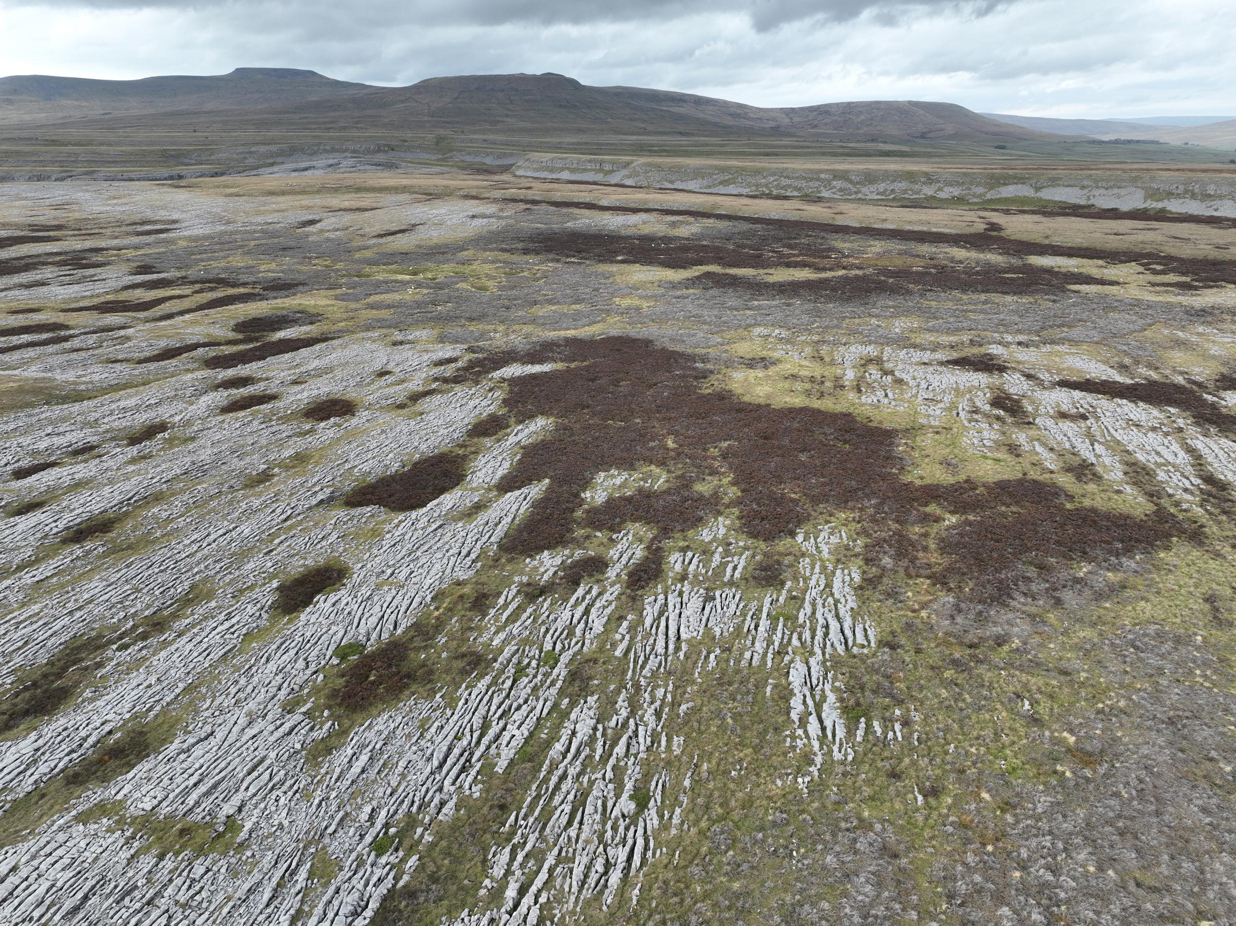
Check out the photos from our work in Yorkshire. Ingleborough is the finest example of karst (glacial) landscape in Britain, covered in limestone pavements, sinkholes, gorges and underground cave systems – using drones we were able to assess the 5,200ha site with stunning landscape photographs. This will help local teams to conserve and enhance these incredible landscapes for future generations.
(Drone flights and photos collected with permission from Natural England)
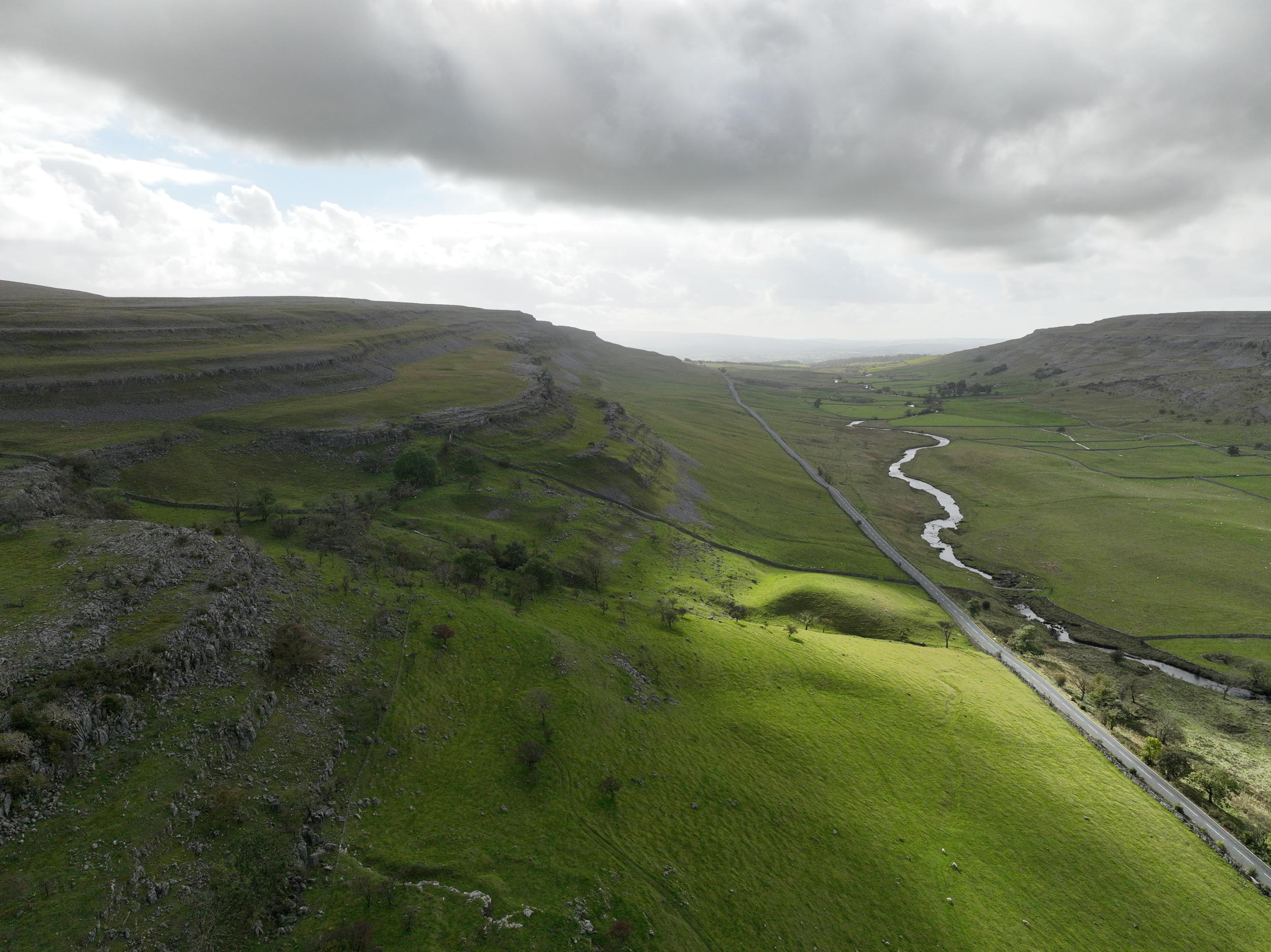
Twisleton Pastures (a glacial valley)
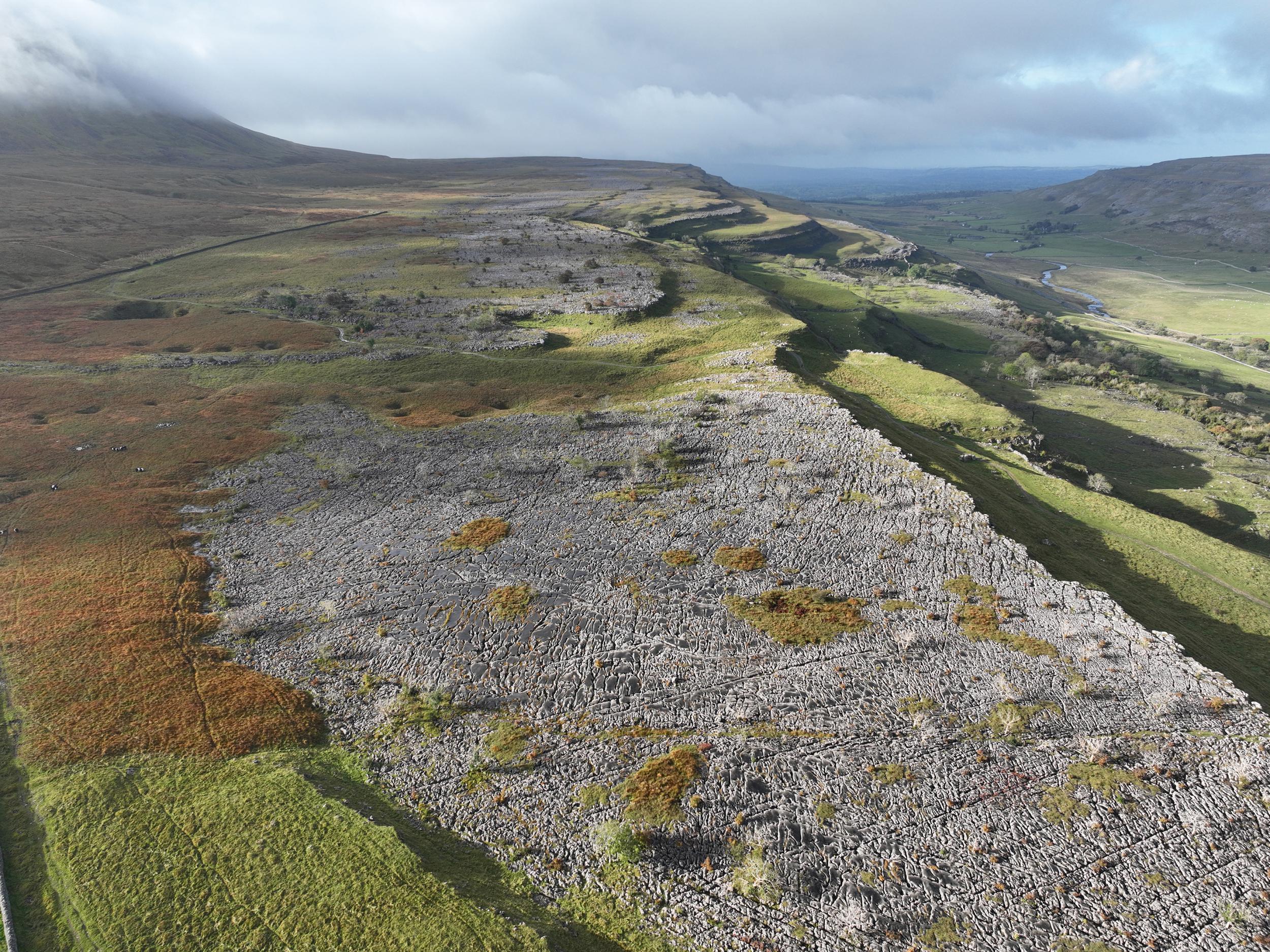
Harry Hallam’s Moss (Limestone pavements)