In a league of our Drone
4 years of cutting edge survey techniques with Geckoella
Geckoella have been at the forefront of environmental surveys using Drones since 2021.
Drones have of course revolutionised the way we work allowing for the survey of inaccessible locations, and giving us the ability to carry out our work without interfering with sensitive environments and wildlife, whilst adding an additional layer of safety to our surveyors. How soon we forget the difficulty of surveying before this sophisticated tech became available.
It wasnt so long ago, that a detailed survey of a several mile stretch of sea cliffs, for example, would have to have been carried out by boat. This would’ve involved time consuming and painstaking stitching together of pictures taken form a static camera on a boat that was moving unpredictably about. Now this can be done in one pass of the drone in very high resolution, capturing every detail with ease.
Now Geckoella enjoys successful Drone projects with clients such as Somerset Council, Natural England and Historic England to name a few!
Highlights over the last two years include:
Bridgwater Bay SSSI
Here we generated accurate and detailed orthomosaics (multiple images stitched together to produce a ‘plan-view’) of Bridgwater Bay National Nature Reserve. These high-resolution orthomosaics were used in conjunction with a traditional UK Habitat Classification survey, to aid in the interpretation and classification of inaccessible habitats in and around tidal inlets and mud flats where surveyors on the ground could not access. These drone surveys were designed to have a minimal impact on breeding birds (e.g. oystercatcher and ringed plover) whose ground-nesting habits are a protected feature of the foreshore.
West Cliff Erosion, Watchet
Another example of how Geckoella successfully applied the use of drones is through mapping a sensitive geological Site of Scientific Interest (SSSI) near Watchet, Somerset, where a combination of tidal action, weathering, hydrological factors and the underlying geology all influence the rate of coastal erosion and cliff failure. Drone surveying was employed to record highly detailed aerial photographs of the site, in addition to orthomosaics that were subsequently used to produce digital elevation models. Interactive 3D models of the cliff face and foreshore could then be generated from repeated monitoring visits, allows the condition of the cliffs to be tracked through time.
By using drones, we are able to capture high-quality, close-up photographs of the unstable cliff face without putting our surveyors or geological features at risk.
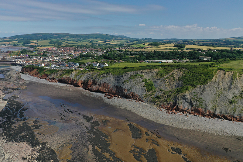
West Beach Cliff
West Beach Drone Image
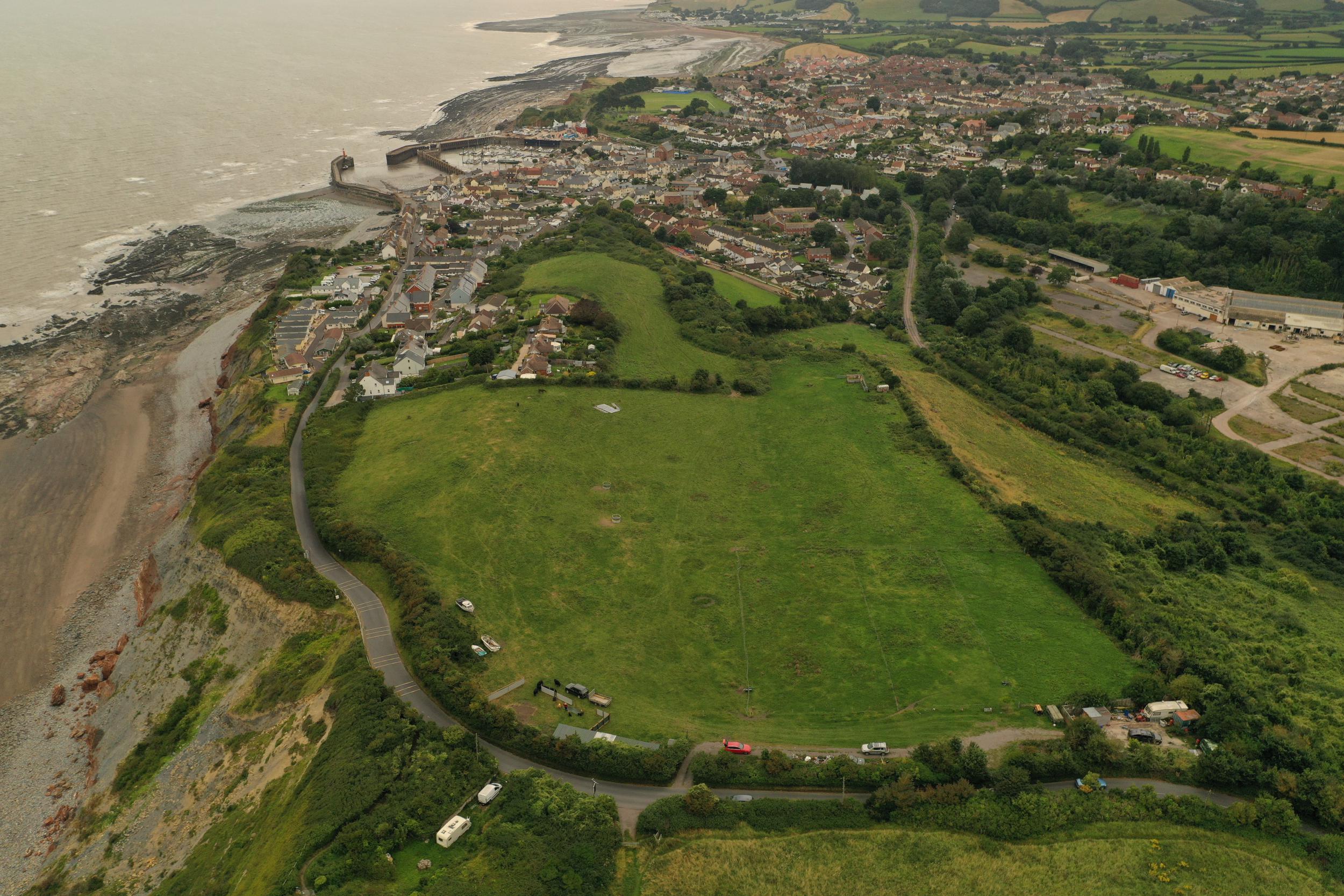
West Cliff, Watchet
Geckoella Drone Image
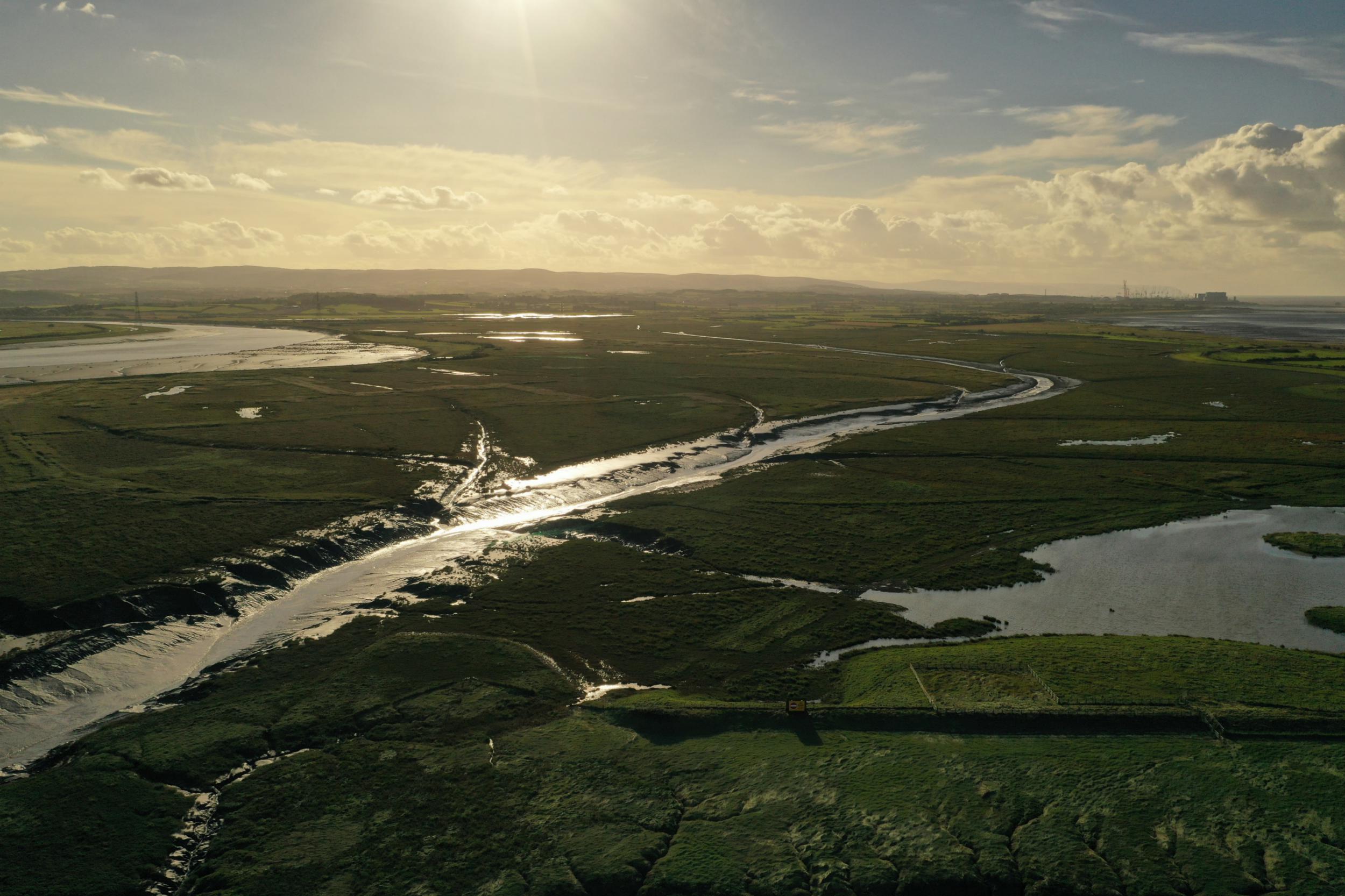
Bridgwater Bay
Geckoella Drone Image
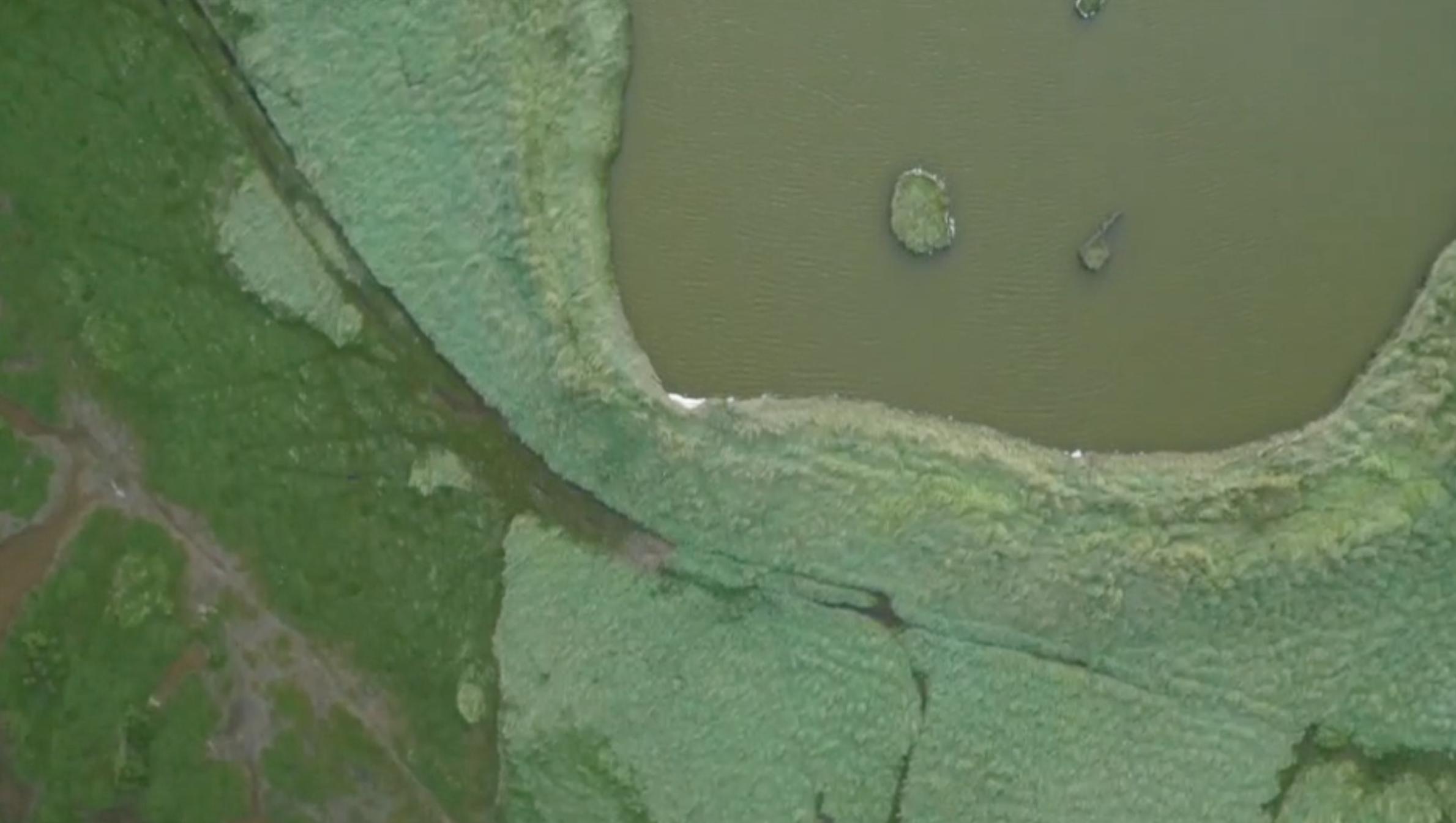
Steart Marshes
Drone Image by Alex Woolcock