Thermal Imaging Surveys
Achieve the very best levels of accuracy and detail with thermal imaging and thermal drone surveys! Geckoella’s specialist team can provide the skills and technology to save you time and money, solving even the most challenging surveys.
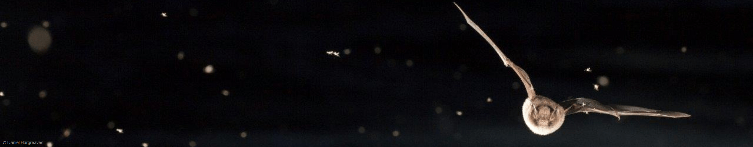
Thermal cameras and drones can see in the dark, making them ideal for nocturnal wildlife such as bats, badgers, deer, otters and owls.
How can we help?
Please contact us at any time for an informal discussion about how Geckoella’s teams could help your project with thermal cameras or drone surveys.

Specialist Surveying
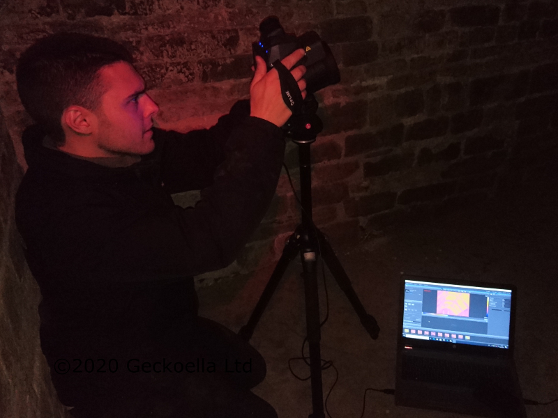
Geckoella provides efficient and effective surveys for your most important projects by using thermal and infrared cameras and thermal drones to survey and assess sites, whilst avoiding disturbance to the natural behaviour of the animals being studied. These ‘supersense’ technologies truly enhance the ecologist’s observations on site and work brilliantly with other technologies, such as bat detectors.
Thermal imaging and drones are best suited to the following situations:
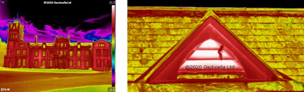
- complex buildings and structures
- areas with restricted access e.g. rail and highways sites
- inaccessible structures e.g. bridges, tunnels, culverts, towers
- protected landscapes, historic buildings and heritage features
- sensitive wildlife species
- research projects
- habitat use e.g. commuting routes by nocturnal wildlife
We maximise efficiency and accuracy with these technologies because they:
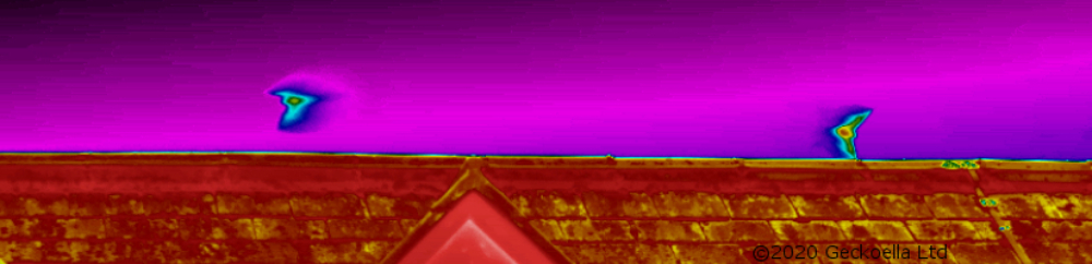
- provide coverage of features that are otherwise not visible from the ground
- give our ecologists clear and reliable evidence
- record clear thermal and visual data for detailed analysis
- enable successful surveys of complex sites in total darkness
Which means:
- efficient survey effort (smaller teams, fewer visits)
- less risk of repeat surveys due to animals “missed” (false negatives)
- less risk of effort spent on “possible” observations (false positives)
- convincing reports with well-informed assessments
Thermal Drone and Camera Case Study
One example of how we have used thermal drones and stationary cameras is to trace the flight routes and roosting sites of lesser horseshoe bats and long-eared bats. These are both very sensitive bat species that tend to avoid brightly lit areas and make very quiet echolocation calls – making them both difficult to observe and record.
Using thermal drones and stationary cameras, we were able to record these bats using previously unseen access and roost features, and we were able to map out their favoured flight routes. This enabled us to make clear, appropriate mitigation recommendations for development proposals at a large historic building complex, with a clear understanding of the needs of the bats on site.
Quality standards
Geckoella thermal imaging surveys are carried out in compliance with BCT Bat Survey Guidelines (Collins 2016) and the BCT Thermal Imaging Bat Survey Guidelines (Fawcett Williams 2019) with suitably qualified and experienced camera operators and ecologists.
All fieldwork methodology and reporting is carried out in compliance with CIEEM guidance.