My main interests are in mineralogy and structural geology; however I am an avid and competent GIS user putting these skills to good use at Geckoella by ensuring our geological and ecological mapping projects are completed to the highest standard. I am an amateur mineral collector in my spare time; my favourite mineral in my collection right now is fluorite of the Hidden Forest Pocket from the Diana Maria Mine, Durham.
I am also a qualified drone operator, and have the unique opportunity to conduct aerial monitoring and inspection of sites. I have been leading aerial landslide monitoring surveys using drones on the Somerset coast through ongoing projects since early 2022. I have applied drones to protected site monitoring, covering six counties in England stretching from the Lizard Peninsula in Cornwall to the peaks of the Yorkshire Dales.
As a geologist working at Geckoella, day-to-day responsibilities are varied and typically span both geological and ecological fields. A typical day could include anything from inspection of protected geological sites, drone surveying, project management, survey planning/logistics, GIS mapping and analysis. In the evening you could find me in the countryside on a bat transect survey or on a bat emergence survey.
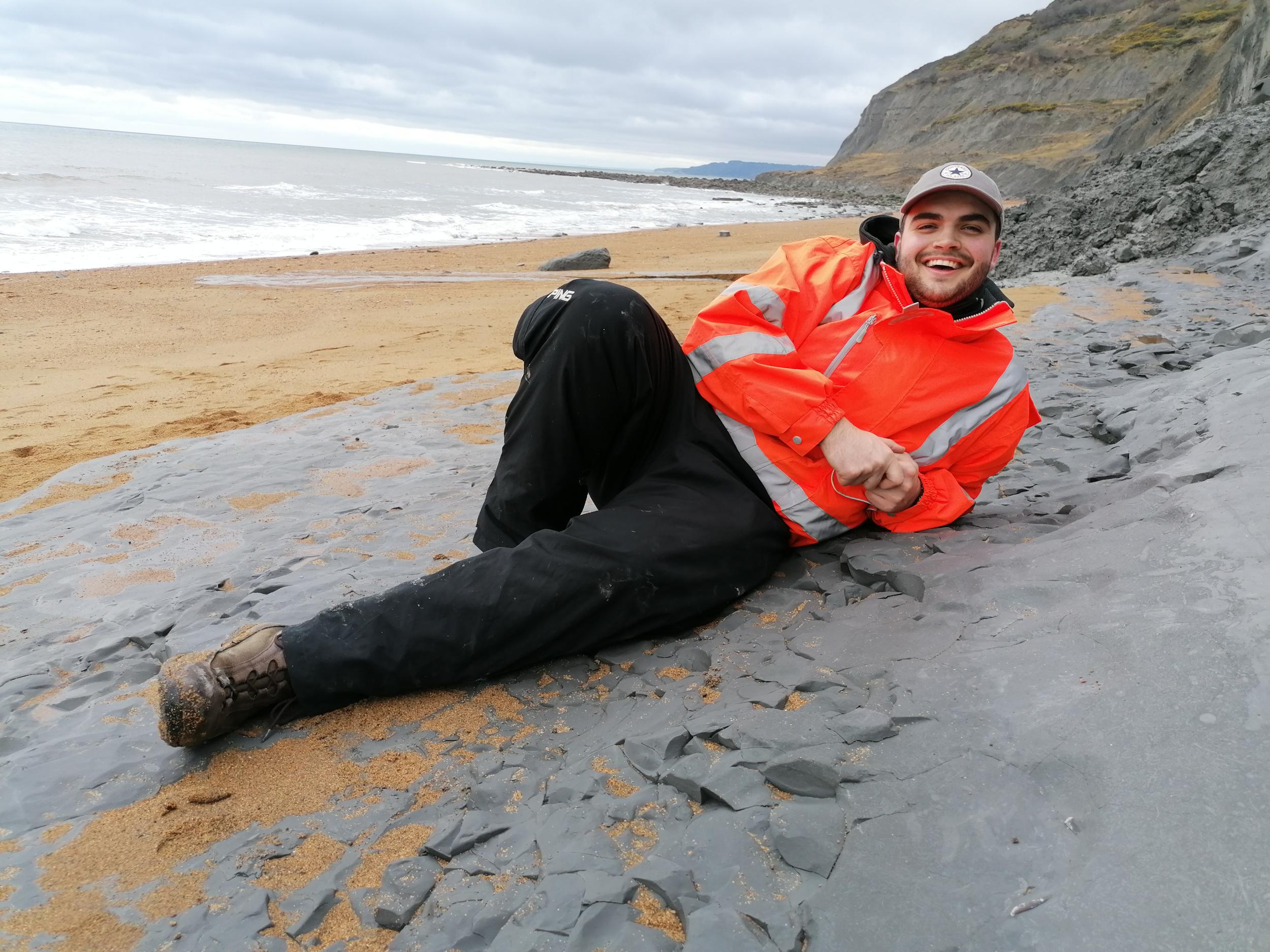
Jamie Foster taking a break on the Eype Clay (Lower Eype, Dorset).
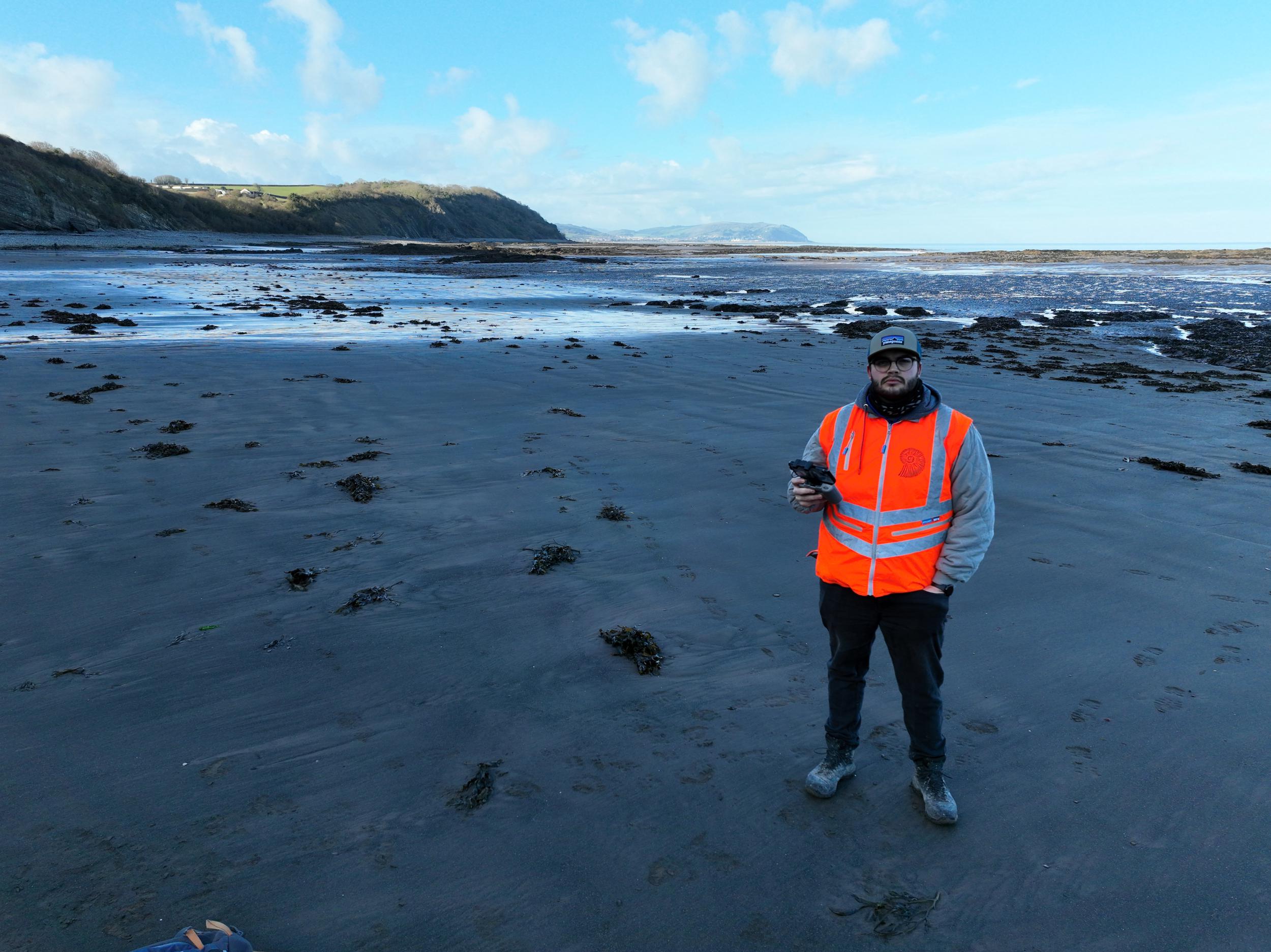
Jamie Foster carrying out Drone Surveys